


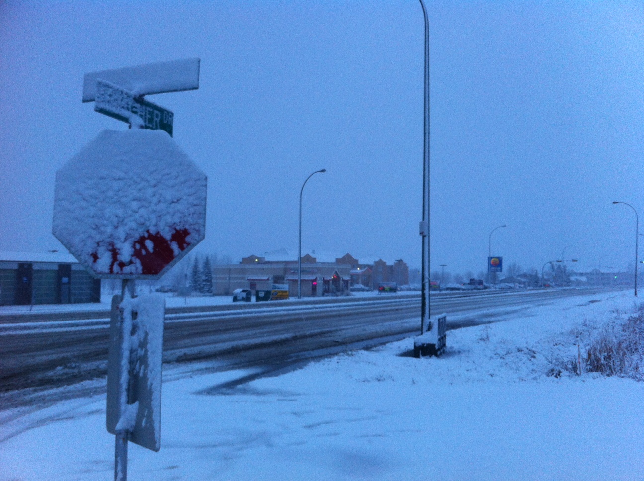
Moose Jaw will look like a winter wonderland by the end of Thursday, as Environment Canada is tracking a storm system that will sweep through the area, bringing with it lots of snow.
“Moose Jaw specifically you are on the lower end of the 10 to 20-centimetre range that we’re expecting in that big swath,” says Environment Canada Meteorologist, Danielle Desjardins. “More of the 10 to 13 cm range for Moose Jaw. Tonight is when we expect the bulk of this snow to fall and that system will pull out of the Moose Jaw area overnight into Friday morning.”
Following the storm will be a lot of cold air that will drop temperatures well below zero.
“We’re looking for a high of –10 degrees today for Moose Jaw and tomorrow only a high of –21.”
These types of bone-chilling temperatures are very unusual for this time of the year. The average daytime high for this time of the year is –4 degrees.
Dejardins adds that this system producing all this snow and cold air originated in the northern United States in Wyoming and is affecting most of the southern prairies.
Accompanying the storm will be some gusty winds as well to make things a little dicey on area highways with visibility.
“We’re looking at northwest winds near 20 kilometres an hour today and tonight. The winds will pick up a little bit tomorrow, as we’re looking at westerly winds of 30 kilometres an hour, with maybe a few gusts in there. The winds aren’t quite as bad but that doesn’t mean that there will be some blowing snow around reducing visibility.”
For up-to-date road conditions visit Discover Moose Jaw's Road Reports and Cancellations page and the Saskatchewan Highway Hotline.


 Fri, Apr 26, 8:00 AM
 Full-time, Term, Administrative, Healthcare

 Featured


